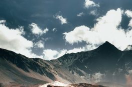
The cycling trail of Upper Mustang is of cross-country style as riders will have to endure in uphill and downhill excursion. So, majority of the time you will have to do the routine of hike and bike. Nevertheless, 360degrees of Himalayan range of Annapurna and Dhaulagiri, and cultural surrounding of Tibetan and Buddhist villages will quickly heal your tiredness.
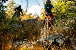
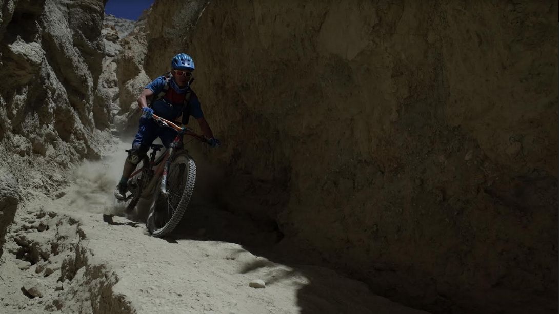
Mountain biking track in Upper Mustang is single, gritty, dusty, and windy. Total riding time will take you up to the height of 3800-4000 m, which means you could be affected by altitude sickness. One has to be health conscious because the route is very challenging.
Although the region was opened for mountain biking in 2000 A.D., very limited riders are seen exploring the place. Riders have to be very experienced to tour de Upper Mustang. Cycling leaders refer August as the best month for the tour.
Flight to Jomsom from Kathmandu. After landing in Jomsom, you will ride towards Kagbeni.
Distance: 10 Kilometers.
Altitude: 2800 Meters.
Day 02:
Ascending route from Kagbeni to Muktinath.
Distance: 15 Kilometers.
Altitude: 1000 Meters.
Day 03:
Muktinath to Chaile.
Distance: 25 Kilometers.
Altitude: 500 Meters.
Day 04:
Chaile to Sangbochey.
Distance: 30 Kilometers.
Altitude: 800 Meters.
Day 05:
Sangbochey to Charney.
Distance: 35 Kilometers.
Altitude: 1000 Meters.
Day 06:
Chrang to Lomang Thang (site seeing around Lomang Thang on the same day).
Distance: 16 Kilometers.
Altitude: 300 Meters.
Day 07:
Rest day.
Day 08:
Lomang Thang to Gami.
Distance: 30 Kilometers.
Altitude: 600 Meters.
Day 09:
Ghami to Chuksang.
Distance: 45 Kilometers.
Altitude: 1200 Meters.
Day 10:
Chuksang to Marpha.
Distance: 20 Kilometers.
Altitude: 200 Meters.
Day 11:
Marpha to Tatopani.
Altitude: 900 Meters.
Day 12:
Tatopani to Beni and then drive towards Pokhara.
Day 13:
Rest day as well as flight/drive back to Kathmandu.